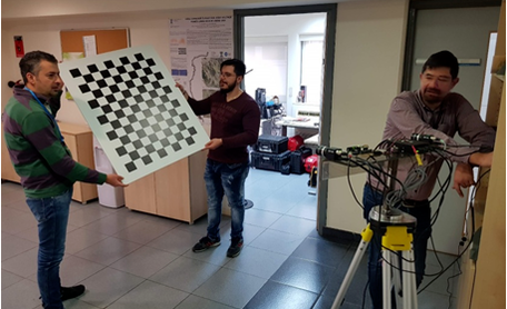
SYSTEM CALIBRATION
Calibration is the process of compensation for the misalignment between the imaging system and the navigation system (GPS/IMU). The misalignment involves both translation and rotation components between the cameras and the mapping reference system, as well as the synchronization between them
|
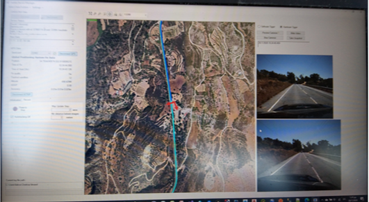
DATA COLLECTIONData collection is performed by our specialized construction carrying all system parts. Moreover, a Data Collection software component is used by the system’s end user before and during the data collection process. This software component is very essential to the end user in order to assist her during the – demanding in terms of localization - video collection process: record and mark the already visited road network parts, as well as guide her to choose the most efficient way to cover the remained road network area, while at the same time supervising the video collection process and adjusting possible interface parameters.
|
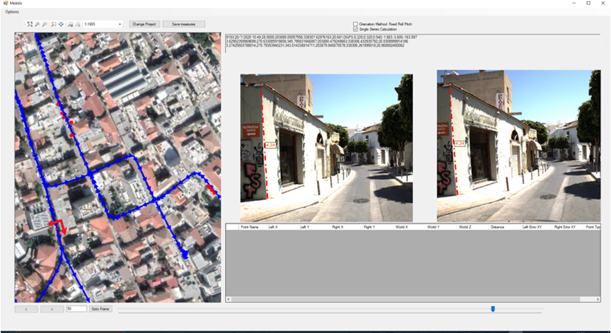
DATA PROCESSING SOFTWARE
A data processing software capable of performing data collection operations, such as 3D object position acquisition, 3D linear object digitization, on picture distance measuring etc, while displaying at the same time the system’s current position on a map.
|